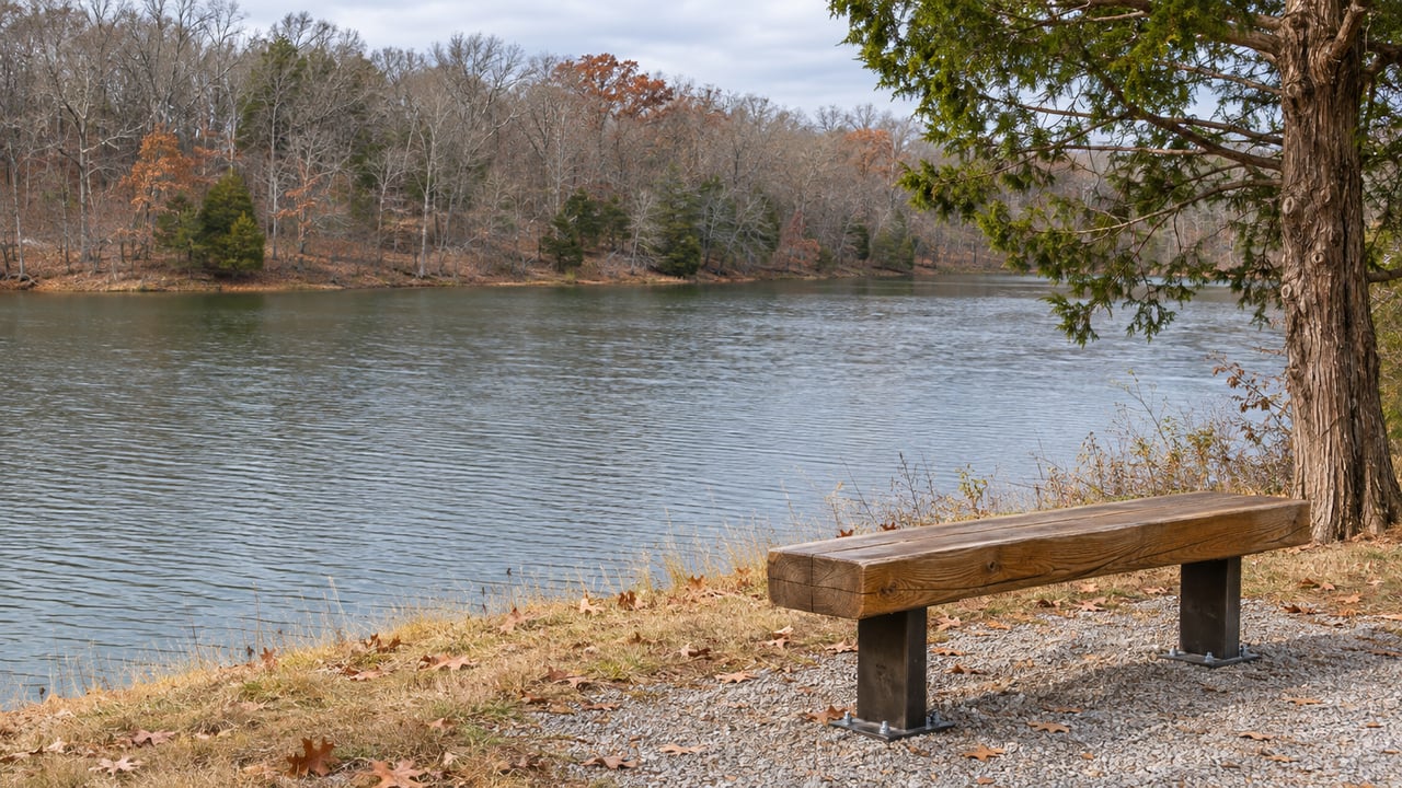
The Eagle Pass Trail in Ashland City is a flat gravel path on an old Tennessee Central Railroad bed. It runs from the Cumberland River Bicentennial Trail to the U.S. Army Corps of Engineers' Lock A Recreation Area on Cheatham Lake. Follow the river north from there, past the Cheatham County line, and you reach a strip of Montgomery County land that now has more going on than at any time in recent memory.
The newest piece is Matlock Park, 230 acres of riverfront at 3150 Matlock Road. It is also one stop on a route. Clarksville's riverside greenway toward Ashland City is being put together from the bottom of the map upward, and much of the recent progress on the Montgomery County side has come as gifts and transfers of land, not purchases. Matlock is the largest of those gifts, and it gives the southern end of the route a reason to visit.
The gift announced in October
Montgomery County Government announced the donation on Oct. 14, 2026. The giver is the Clarksville-Montgomery County Community Health Foundation. According to Clarksville Now, the property sits near the county's southeast border, west of the Hinton Road and Sulphur Springs Road intersection and west of Walton's Chapel United Methodist Church. It has rolling hills, mature hardwood forest, open fields, creeks, natural springs and 3,300 feet of Cumberland River frontage. A creek connects a lake and a pond on the land to the river, and the outlet notes that this opens the door to swimming, fishing and kayaking.
The Foundation bought the land from the Matlock family in May for $5 million and then gave it to the county, according to county property records cited by Clarksville Now. That $5 million is a purchase price. It does not cover any park construction.
Foundation Executive Director Rosalind Kurita spoke to the County Commission in early November. Clarksville Now reported her description of the property as "the largest gift that our foundation has ever undertaken, and it is dedicated entirely to creating a new public park." The outlet said the room broke into applause, and that the Commission's Monday, Nov. 9 meeting was when members were expected to approve accepting the land. Kurita tied the gift to the Foundation's health mission. She said that mission reaches surrounding counties "as well as the families at Fort Campbell."
Why the land matters most as a link
Matlock Park is a big property, but the county's own framing puts the weight on where it sits. Clarksville Now described Matlock as a key connector in the county's effort to join the Clarksville Greenway to the Ashland City Greenway. The long-range goal is one continuous greenway from Ashland City through Montgomery County to Hopkinsville, Kentucky.
That goal is only workable because of land the county already has or is about to receive along the river. Listed from the Cheatham County line northward, using the county's description of the corridor, the pieces look like this:
| Piece of the corridor | Who holds it | Where it stands |
|---|---|---|
| Eagle Pass Trail, Ashland City | City of Ashland City, donated by TennGreen in December 2025 | Flat gravel rail-trail linking the Bicentennial Trail to Lock A |
| Narrow river tract from Matlock south to the Cheatham County line | Montgomery County | Already county-owned |
| Matlock Park, 230 acres | Donated to Montgomery County by the Community Health Foundation, with County Commission acceptance set for November | Phase 1 planning and design once accepted |
| Tract at the end of Jarrell Ridge Road | Montgomery County | Segment built with a $350,000 Health Foundation grant |
| 1.12-mile strip toward Mark Bottom Road | Cunningham Utility District and East Montgomery Utility District | To be transferred to the county |
| Remaining distance to Clarksville city limits | Mostly not yet secured | About 5.5 miles |
Counting the utility districts' strip, county officials told Clarksville Now that the county can build about 3.24 more miles of greenway at the south end. Roughly 5.5 more miles would be needed to reach city limits, and officials said most of that will require more land purchases or gifts. So the southern stretch is mostly in hand, and the miles closest to town are the ones still to be secured.
The same funder keeps showing up
On the Montgomery County side, much of this corridor traces back to one source of money. In May 2025, the County Commission approved an agreement with the Aspire Clarksville Foundation to spend a $350,000 Community Health Foundation grant on the Lock B Greenway Project. Clarksville Now described it as a 1-mile stretch near Lock B on the Cumberland, southeast of Clarksville, with the grant covering "execution and paving." Before that, the county had already cleared a mile of brush on Jarrell Ridge Road.
At the Clarksville Area Chamber of Commerce Mayor's Power Breakfast on Jan. 6, 2026, County Mayor Wes Golden said more than a mile of greenway had been completed on the southeast side of the county. Clarksville Now's account of the breakfast includes the line he has used to describe the arrangement with Cheatham County:
"They're working towards us and we're going to work towards them."
A February county project update reported by Clarksville Now listed the next steps for the Jarrell Ridge segment. Safety rail installation was set to begin soon. The Highway Department planned to stabilize a section of the old rail bed that had slid into the river before moving north. The first bridge the route needs will take more grant money, and the report said the Community Health Foundation looked like a good funding source for later phases.
Ashland City has been building toward the county line at the same time. TennGreen Land Conservancy bought the Eagle Pass corridor in 2000 and expanded it in 2011. In December 2025 it donated the tracts to Ashland City under Mayor Gerald Greer. "After more than a decade of owning and managing these trail segments, TennGreen is thrilled to gift both properties to the City of Ashland City," TennGreen Deputy Director Christie Henderson said in the Main Street Media of Tennessee report.
Every one of these steps came as a gift, a grant or a transfer between public bodies. Because Matlock is the biggest of them, the southern end of the corridor now has a planned 230-acre park on it, not just the end of a trail.
What Phase 1 looks like, and when
Matlock Park is a planning project right now. The county release lists Phase 1 in this order:
- Acceptance of the property by the County Commission at its November meeting
- Initial surveys, site assessments and master planning
- Roadway access, ADA pedestrian connections, grading, soil testing and environmental reviews
- A construction grant application, planned for spring 2027
- Completed design plans, targeted for spring or summer 2027
Later phases will set the construction schedule based on how much grant money is available. Montgomery County Parks and Recreation Director Sally Read said amenities will be chosen during master planning. The focus will be walking, sports, water activities and family recreation, with the goal of "an expansive one-of-a-kind space in nature." Roadway access is still a Phase 1 task. Until that work is finished, the park exists as a site on a planning map, not a place with an entrance and a parking lot.
Where the river route can be walked this season
The two ends of the planned route are already trails. The existing Clarksville Greenway runs from Heritage Park in the north to Valleybrook Park in the south.
At the other end, Eagle Pass connects to the Cumberland River Bicentennial Trail and the Lock A Recreation Area on Cheatham Lake. Main Street Media of Tennessee describes it as offering wide river views and easy access to the water. Matlock Park and the Jarrell Ridge Road segment lie between those two trails, along with the remaining miles the county still needs to secure.
If you follow park planning in southeast Montgomery County, or if you're weighing how Matlock Park and a future river greenway could shape everyday life around Hinton Road and Sulphur Springs Road, The Bell Group keeps up with these projects as they move through the Commission. Book an appointment and we'll go over what's planned near the streets you care about.